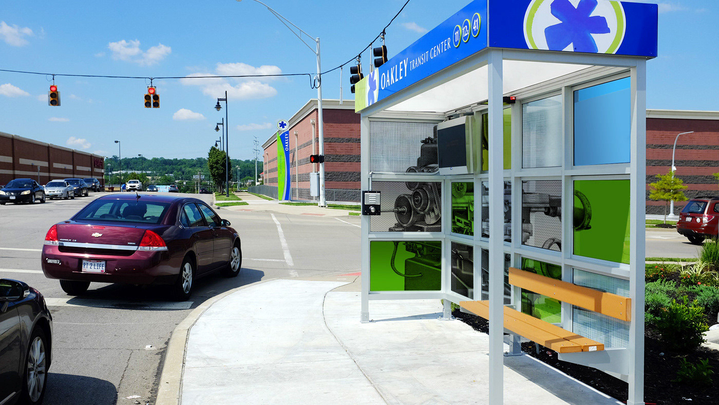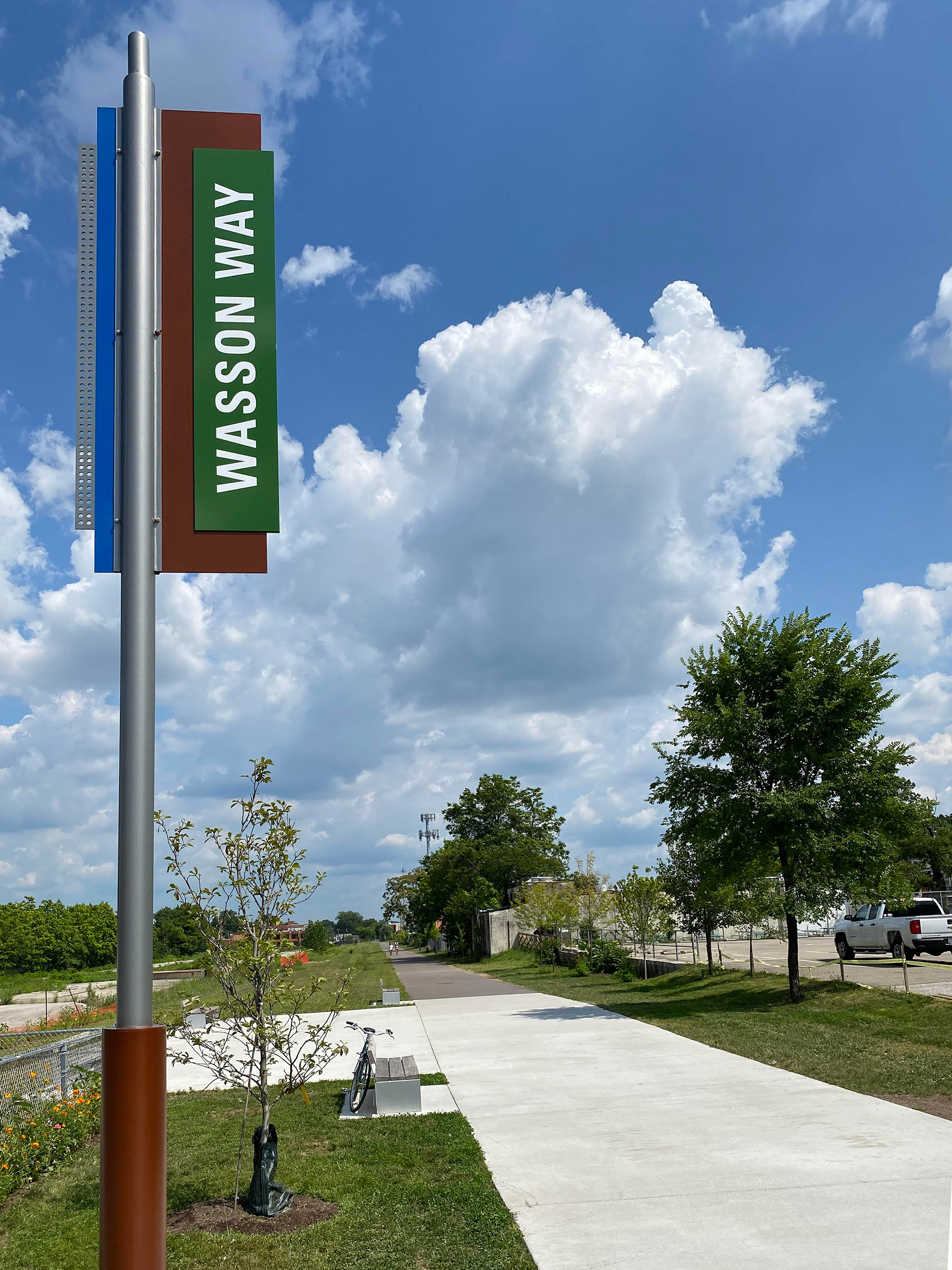
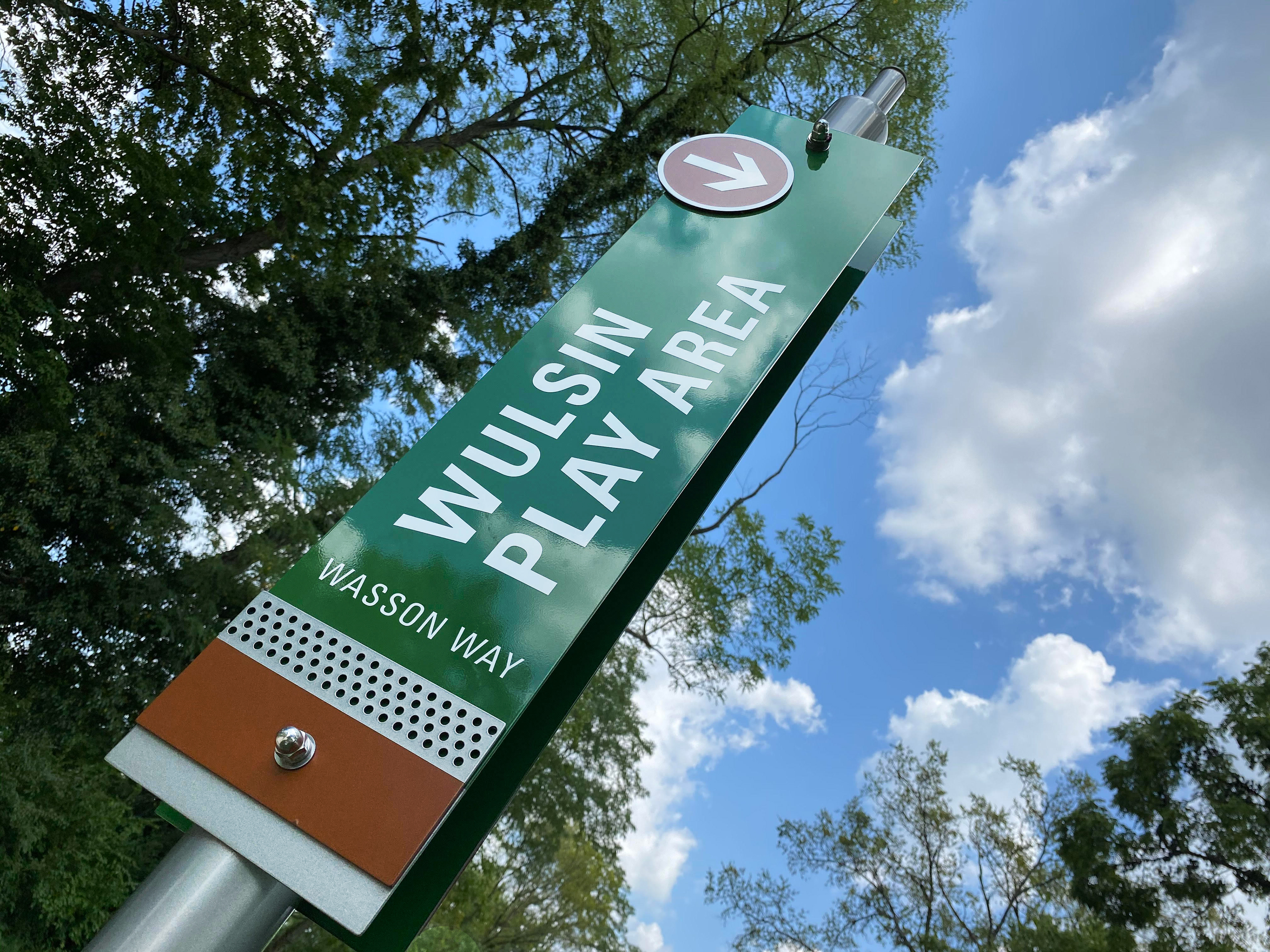
Tall identification signs are located at major roadways to heighten visibility of the trail system to the public.
Lisa K. Bambach © 2020
Lisa K. Bambach © 2020
Lisa K. Bambach © 2020
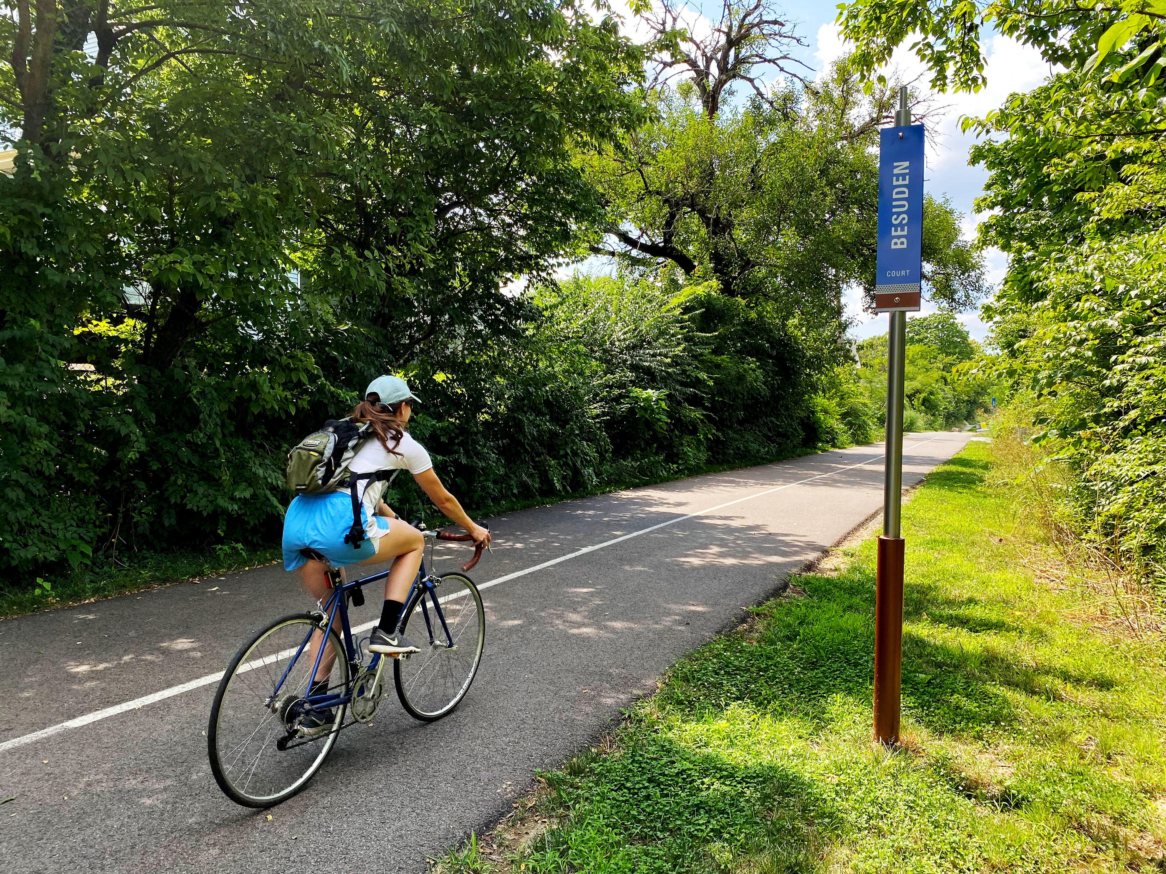
Due to the urban setting and future trail expansion plans, cross-streets are used for emergency access identification rather than mile markers.
Lisa K. Bambach © 2020
Lisa K. Bambach © 2020
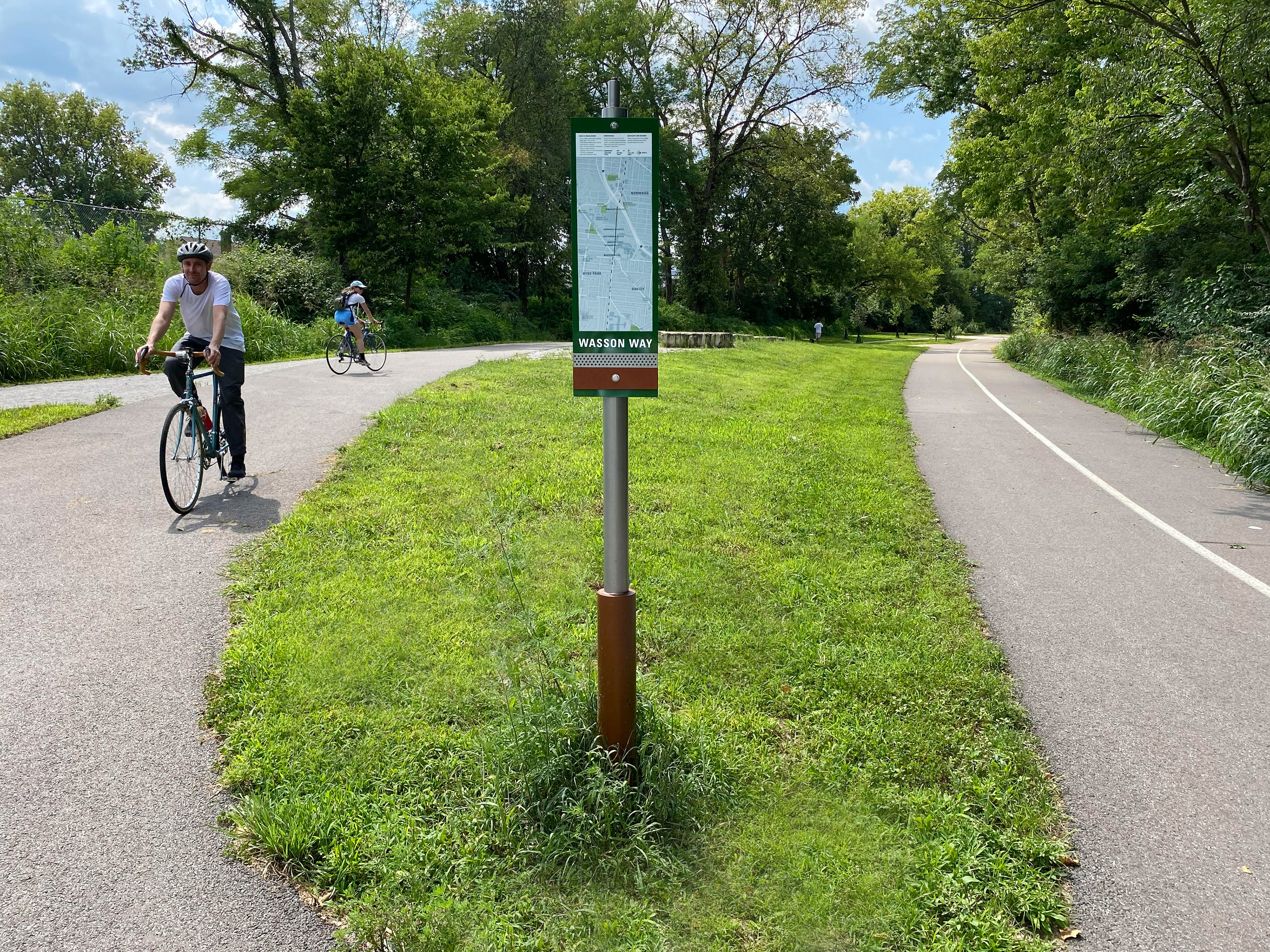
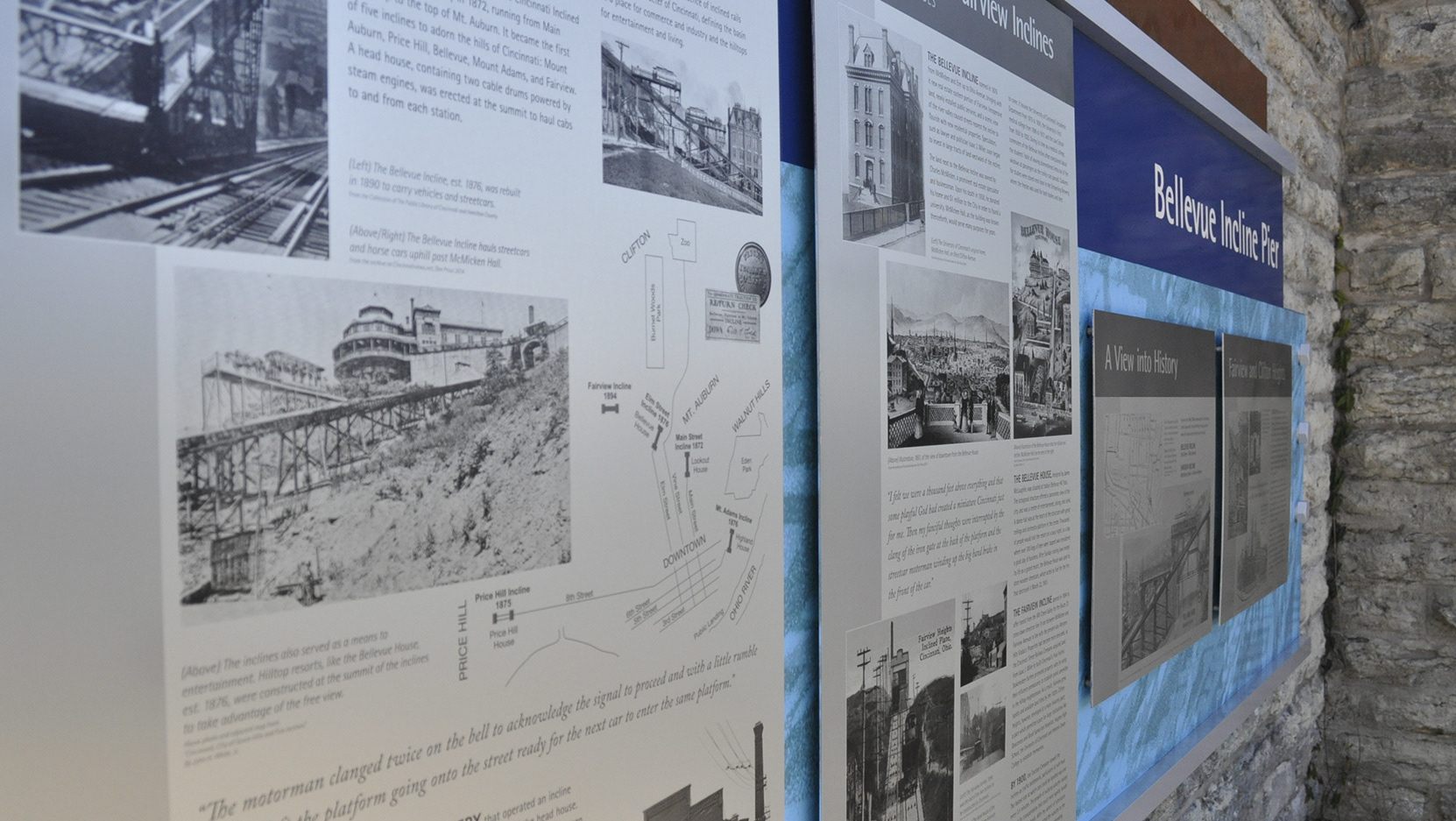
Printed maps are semi-permanent for easy updating.
Lisa K. Bambach © 2020
Lisa K. Bambach © 2020
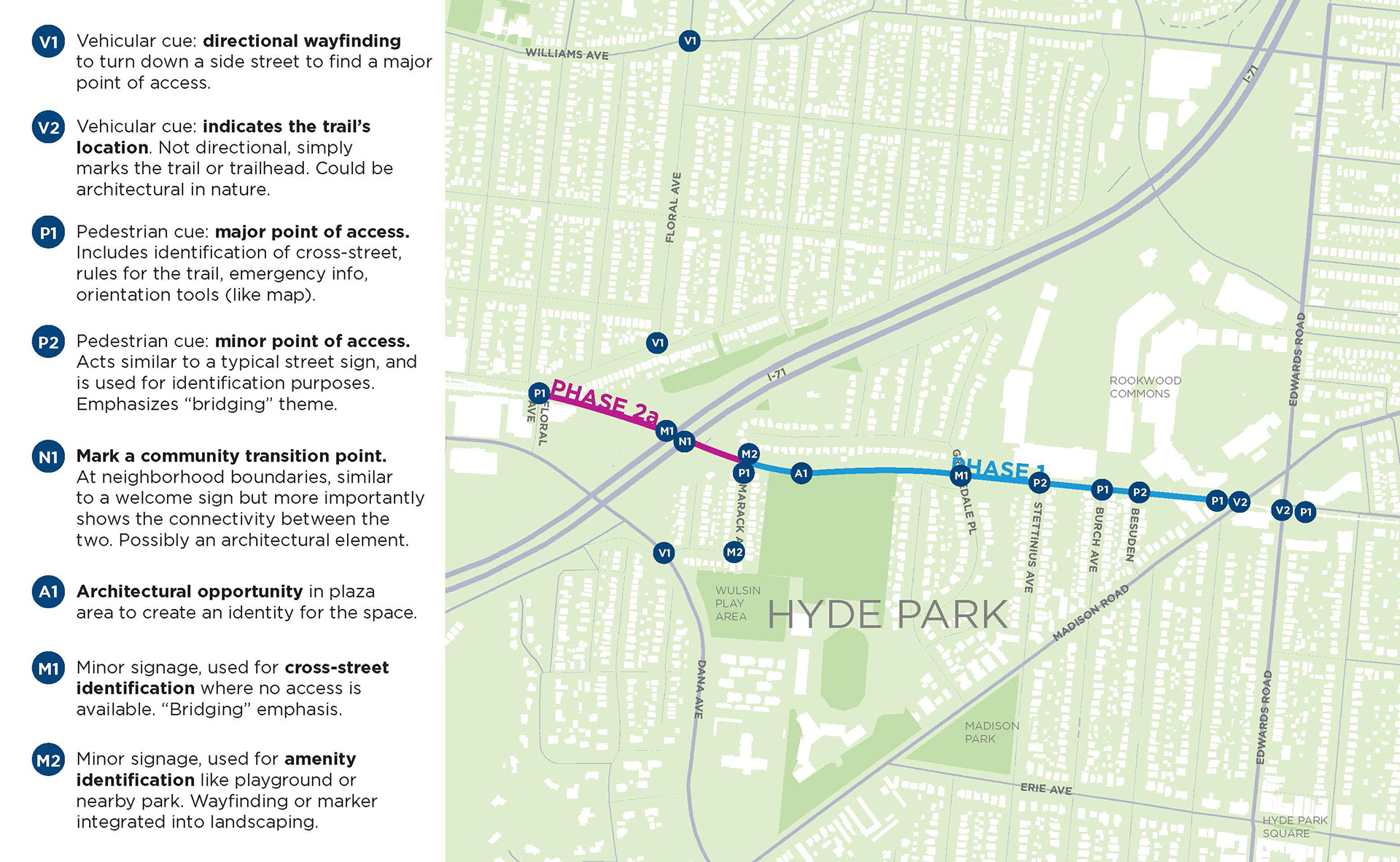
A location strategy plan outlined the function of each sign type in the comprehensive wayfinding system.
Lisa K. Bambach © 2017
Lisa K. Bambach © 2017

Colorized plans were drawn for use in public meetings to strengthen and clarify communication of the design intent to community partners.
Lisa K. Bambach © 2017
Lisa K. Bambach © 2017