VEHICULAR SIGNAGE
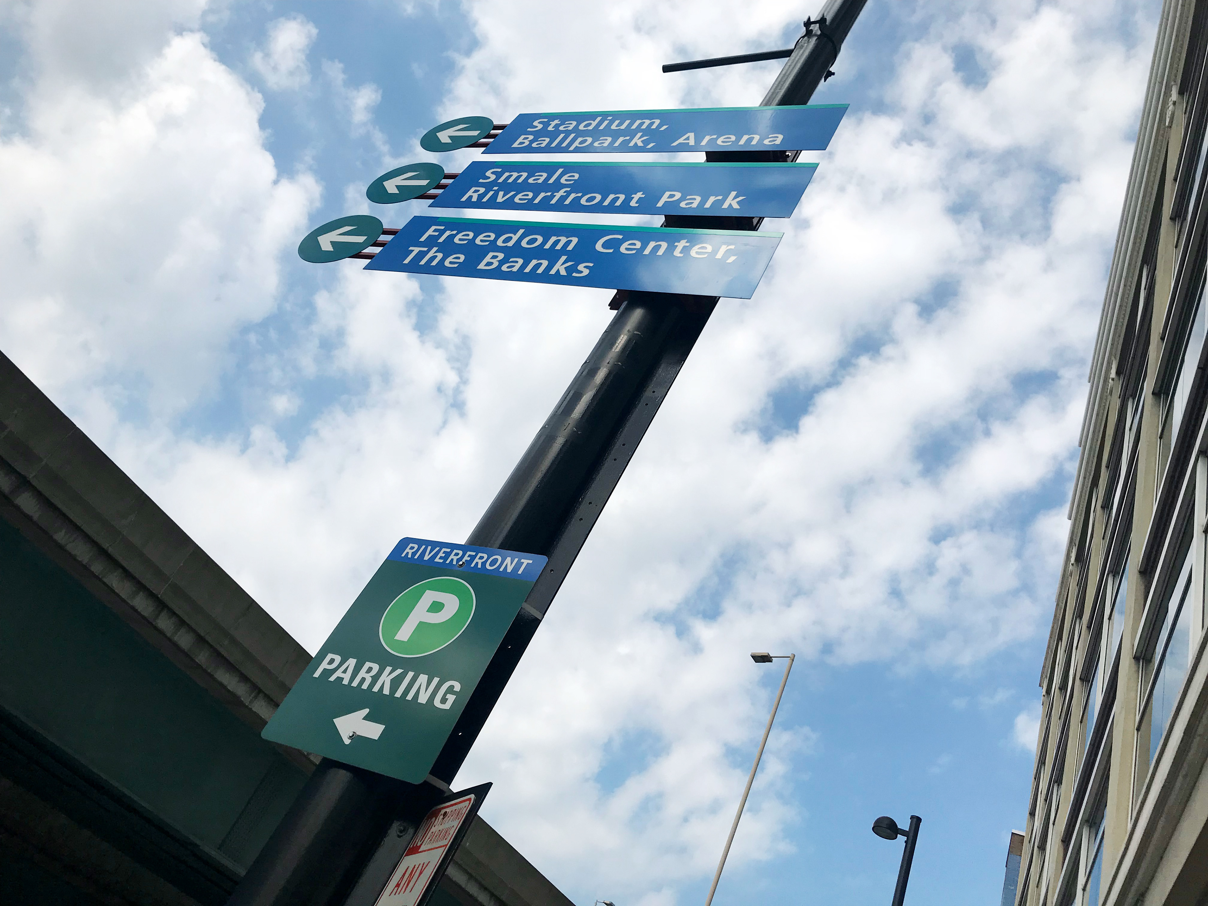
The first phase of the downtown vehicular wayfinding system for the City of Cincinnati was installed in 2008. By 2015, only 45% of the entire system had been installed. The installed portion of the system included signs within the Central Business District, but did not direct from the highways to areas of interest. Between 2015–2017, I audited the existing signage and installed the remaining 55% of the system.
The first phase of the downtown vehicular wayfinding system for the City of Cincinnati was installed in 2008. By 2015, only 45% of the entire system had been installed. The installed portion of the system included signs within the Central Business District, but did not direct from the highways to areas of interest. Between 2015–2017, I audited the existing signage and installed the remaining 55% of the system.
As part of this process, I worked alongside Traffic Engineering and the Cincinnati Area Geographic Information System (CAGIS) teams to build a database that inventories all existing signage within the City of Cincinnati. The goal of the database is to create a management tool that tracks the sign content, functionality, condition, and construction for future repairs and systems implementation.
Custom city-owned vehicular signage in Cincinnati, Ohio
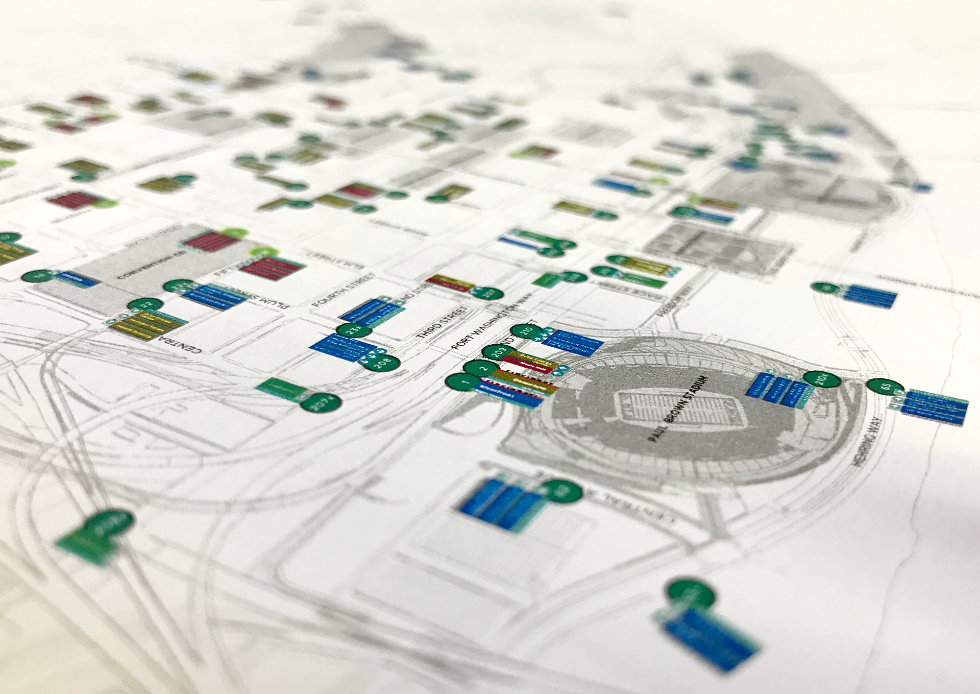
City directional signage system plans, like this vehicular plan created in Adobe Illustrator, were converted into an geographic information system.
Lisa K. Bambach © 2018
Lisa K. Bambach © 2018
PEDESTRIAN SIGNAGE
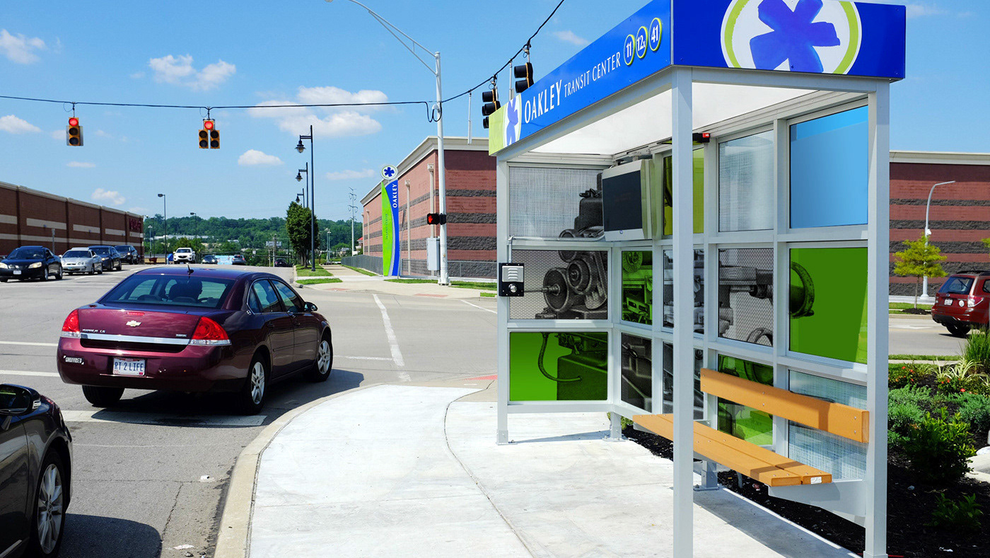
Existing pedestrian signage was also audited and entered into the CAGIS database. As part of the audit process, it was identified that the existing pedestrian system was not comprehensive for downtown and its neighboring communities, so new signage was planned and designed to work in unison with the existing vehicular signage system. The pedestrian signage system focuses on destinations within a 10 minute commute by foot to encourage walking, biking, or scooter use.
Existing pedestrian signage was also audited and entered into the CAGIS database. As part of the audit process, it was identified that the existing pedestrian system was not comprehensive for downtown and its neighboring communities, so new signage was planned and designed to work in unison with the existing vehicular signage system. The pedestrian signage system focuses on destinations within a 10 minute commute by foot to encourage walking, biking, or scooter use.
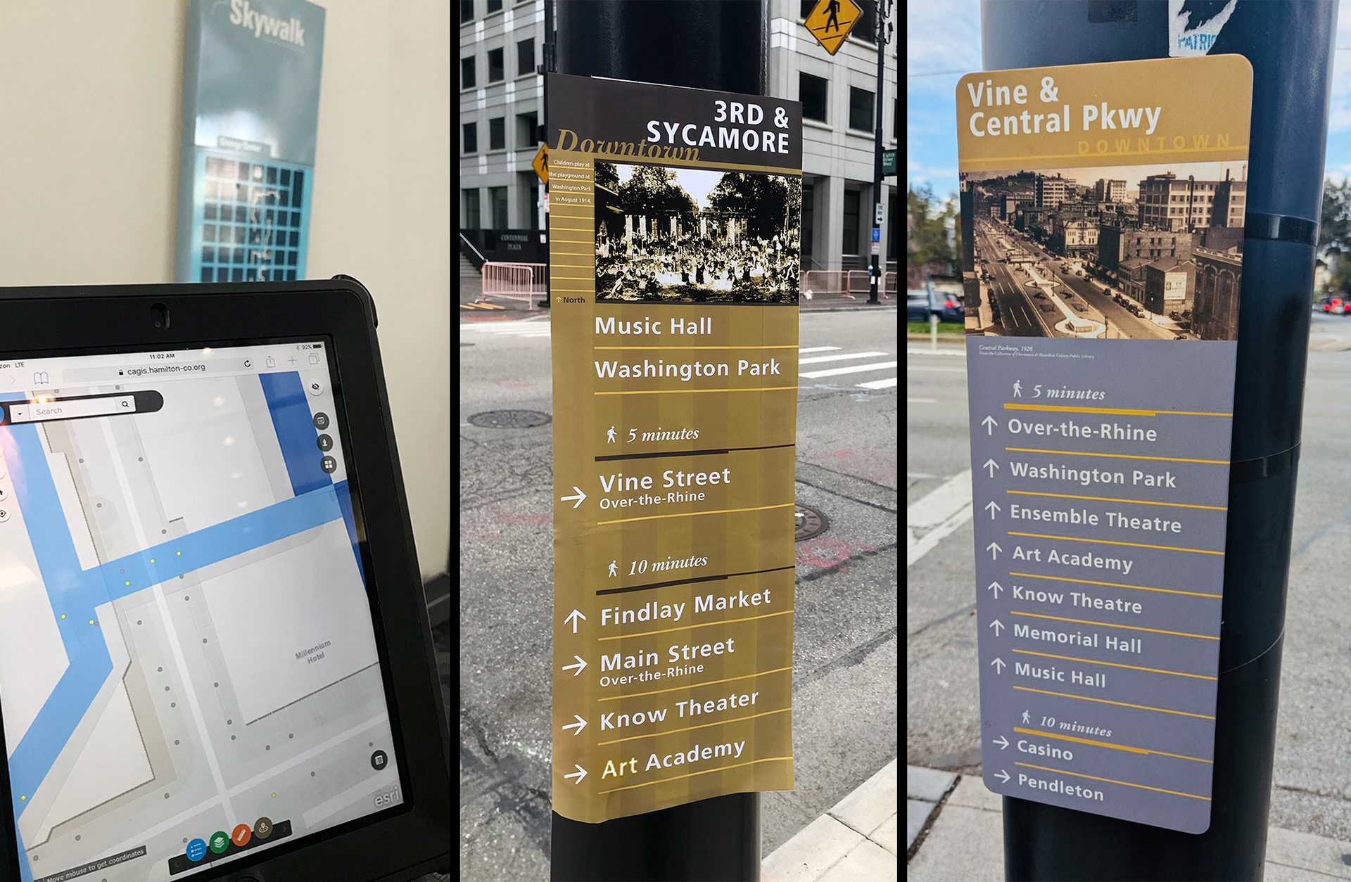
Left: The existing Skywalk signage system is entered into the new signage management database, developed by the CAGIS team.
Center: Mockups of the new pedestrian wayfinding system are tested in the field to validate scale.
Right: Installed pedestrian signage. Photo provided by Zach Schunn © 2024
Lisa K. Bambach © 2018
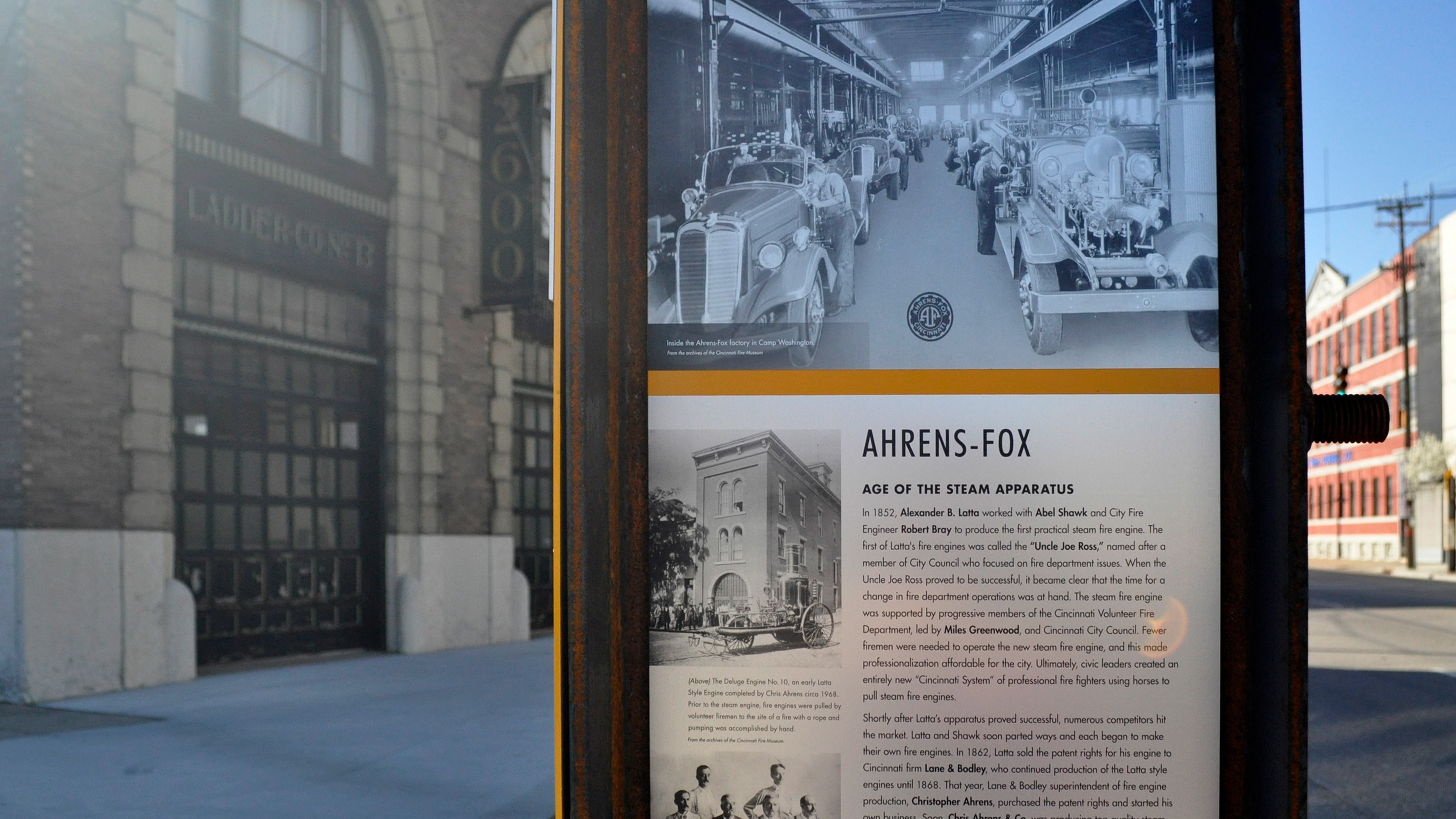
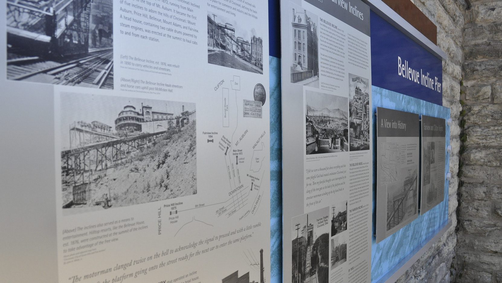
The pedestrian signs are designed to coordinate with the visual language of the vehicular system to ease the transition from a macro to micro scale commute. They also feature historical imagery of the intersection in which they are placed to connect pedestrians directly to the heritage of the city.

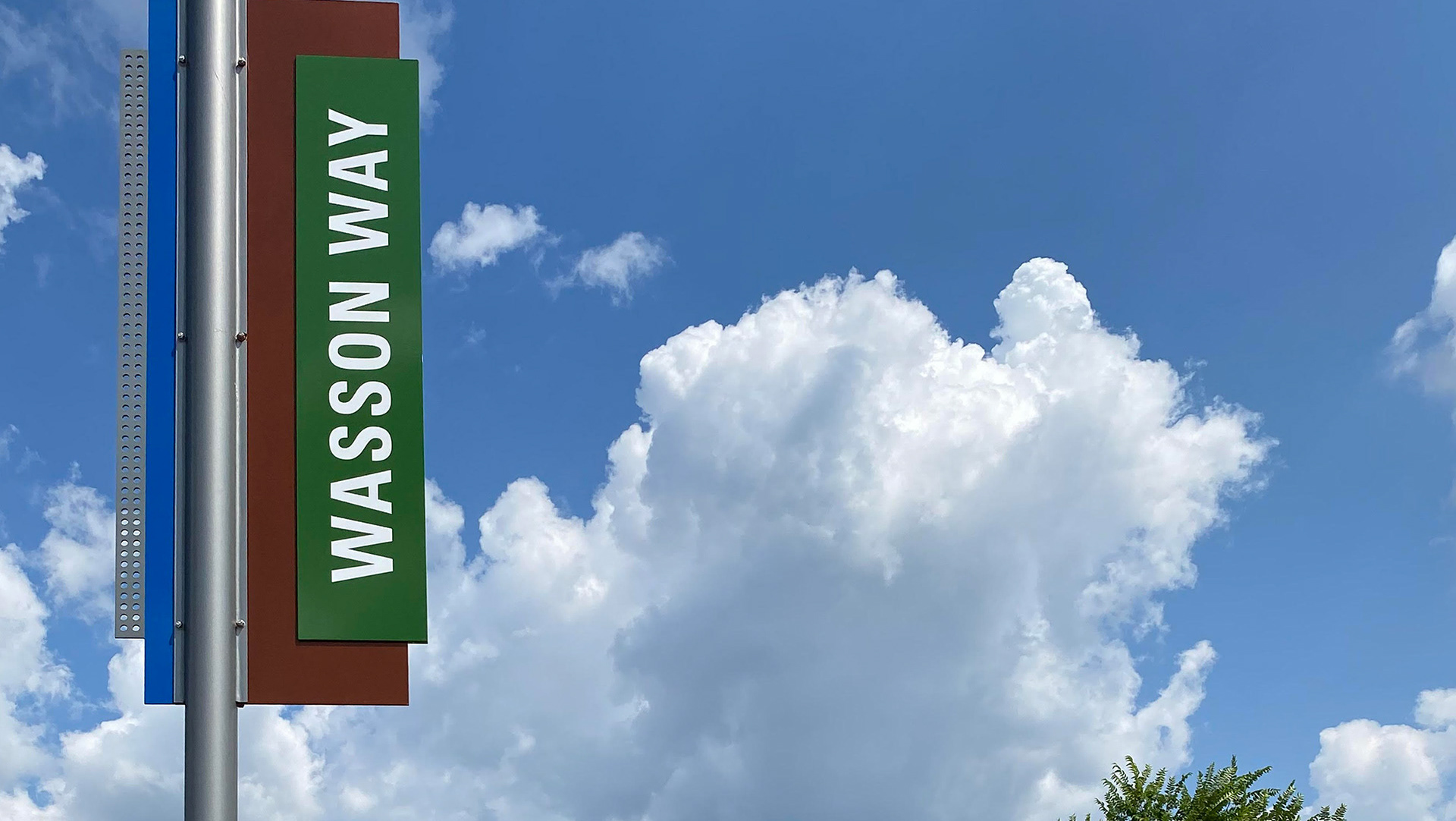
Pedestrian wayfinding signage, designed to unite three walkable neighborhoods neighborhoods in the city's basin.
Lisa K. Bambach © 2018